Territory as Architecture [Intensive workshop]
Territory as Architecture [Intensive workshop]
The course introduces essential concepts and tools for mapping cities and territories. In the first part of the workshop, students will focus on hand-drawing techniques by creating detailed maps of Barcelona, learning cartographic principles at the scale of the whole city. This hands-on approach enhances their understanding of spatial relationships and graphic elements in map-making.
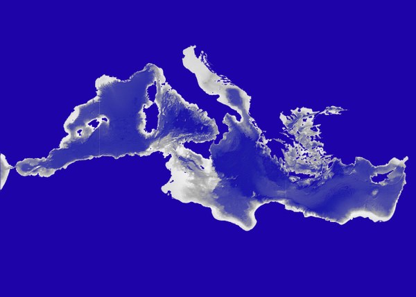
In the second part, students will map Mediterranean cities and territories using advanced GIS technology. They will gain proficiency in software like QGIS to analyze spatial data. By combining hand-drawing skills with GIS technology, students will produce precise, informative, and visually compelling maps, preparing them for diverse mapping challenges in urban and territorial design and studies.
SUBJECTS
FIRST SEMESTER
SECOND SEMESTER
+ Master's Thesis (15 ECTS)


Share: